-
Armenia, Azerbaijan and Turkey – Paradoxes
-
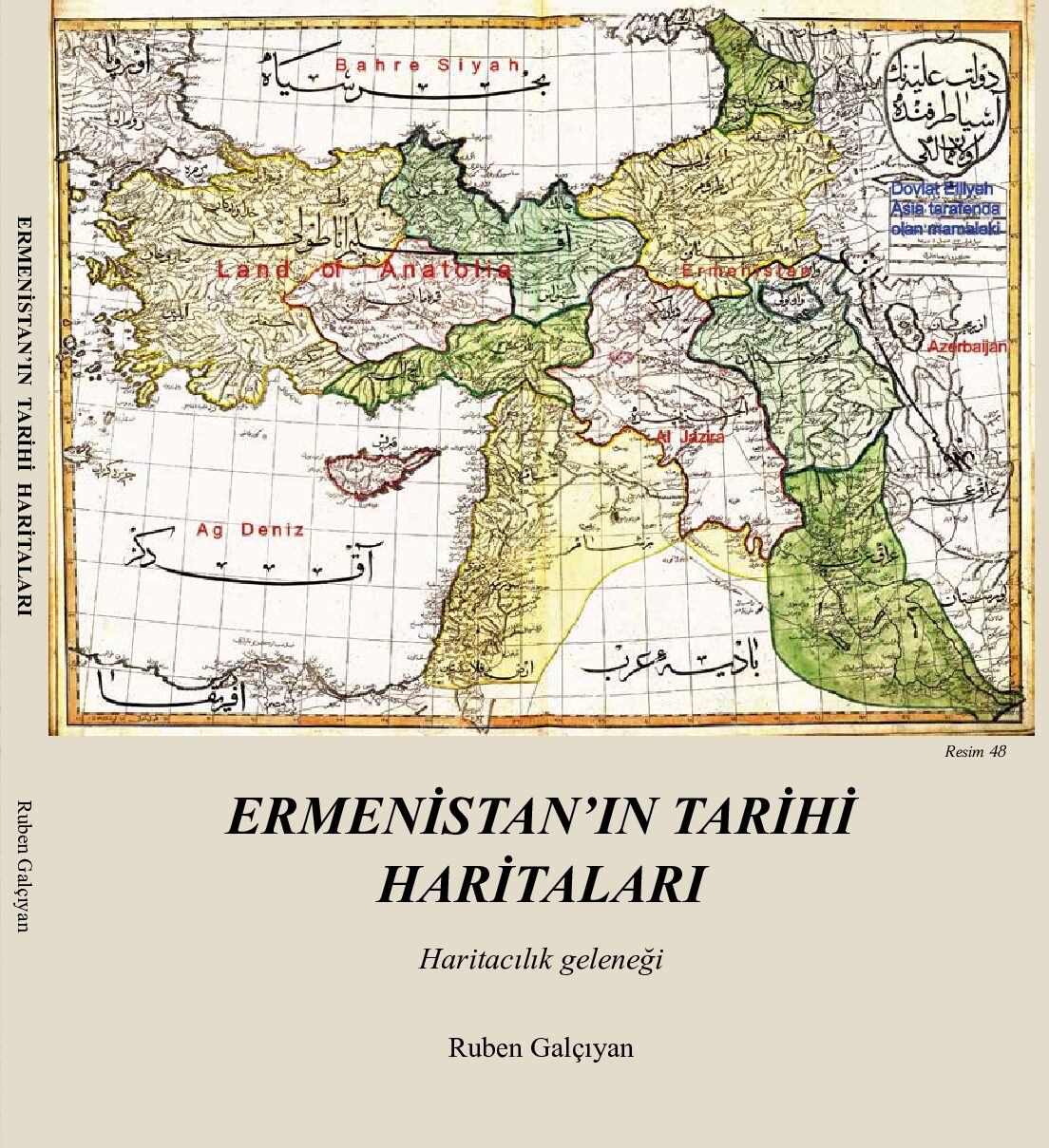
Ermenistan’in Tariri Haritalari (Historic Maps of Armenia)
-
Armenia in Historic Maps of the World
-
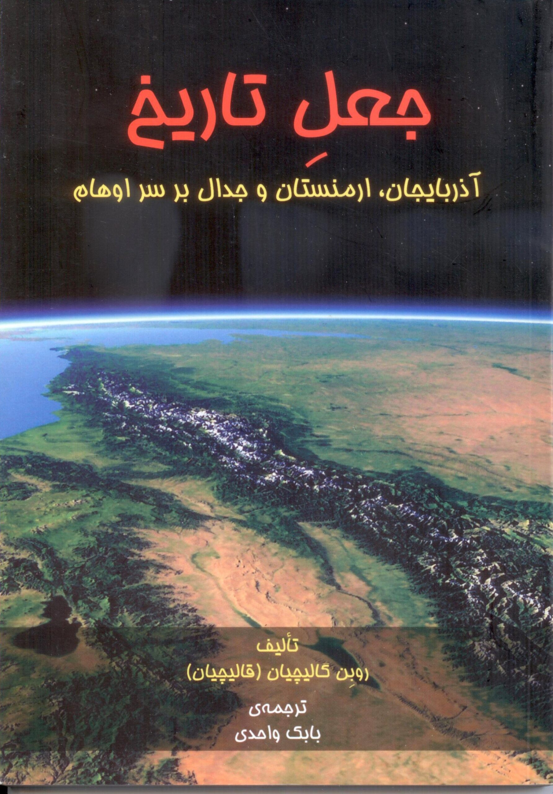
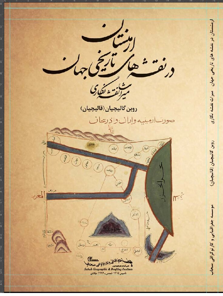
The Invention of History (Persian version)
-
Armenia in Others Maps
-
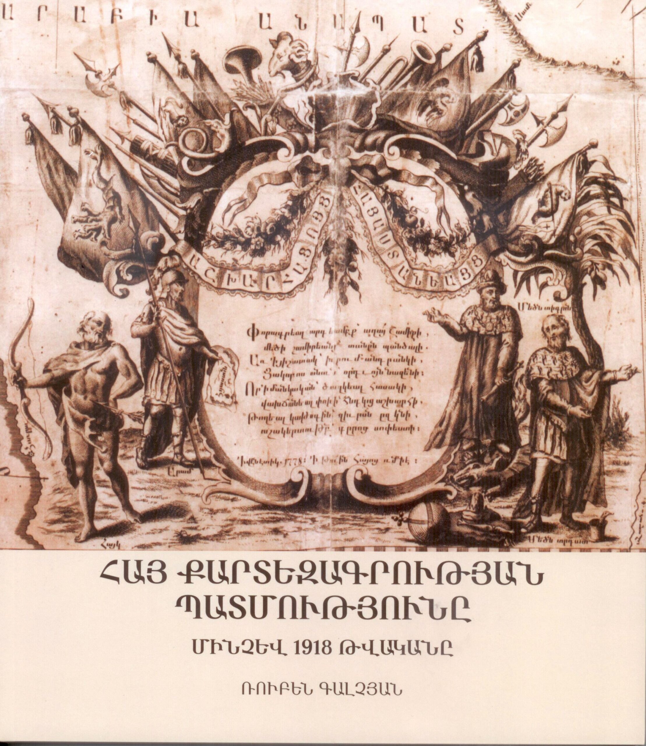
History of Armenian Cartography intil the year 1918 (in Armenian)
-
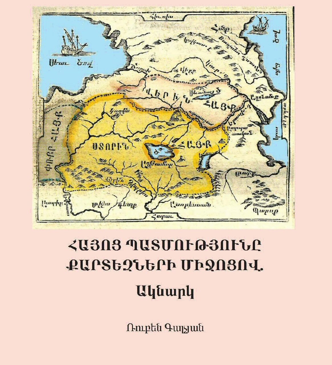
History of Armenia Through Maps – A Glance
-
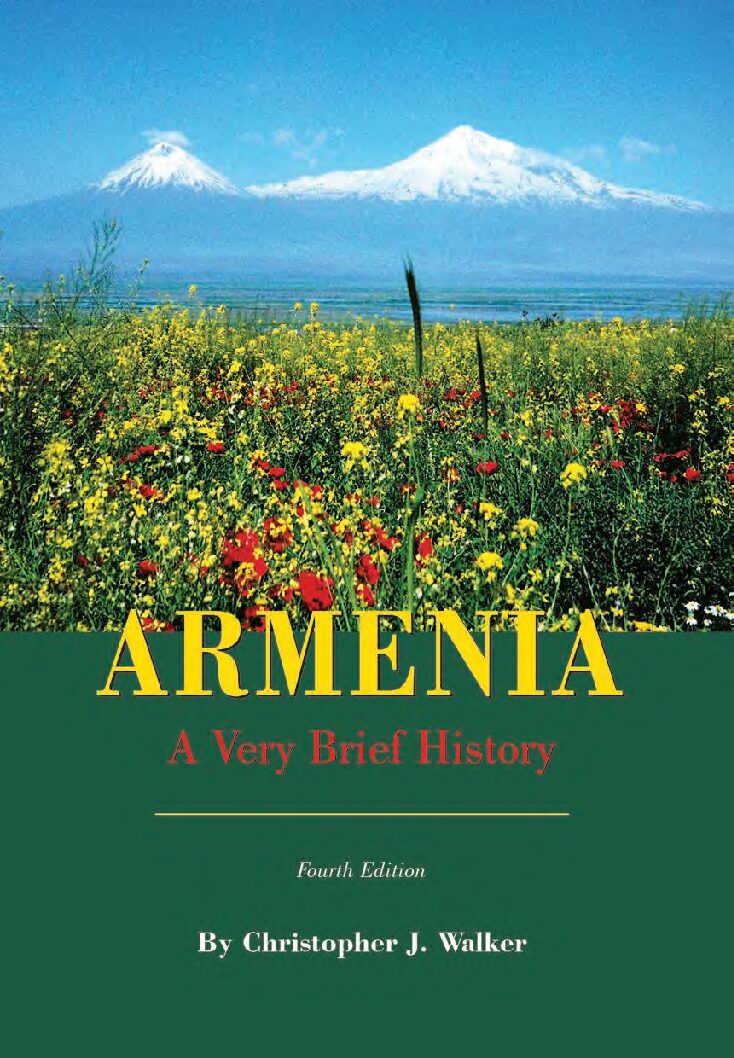
Armenia – A Very Brief History
-
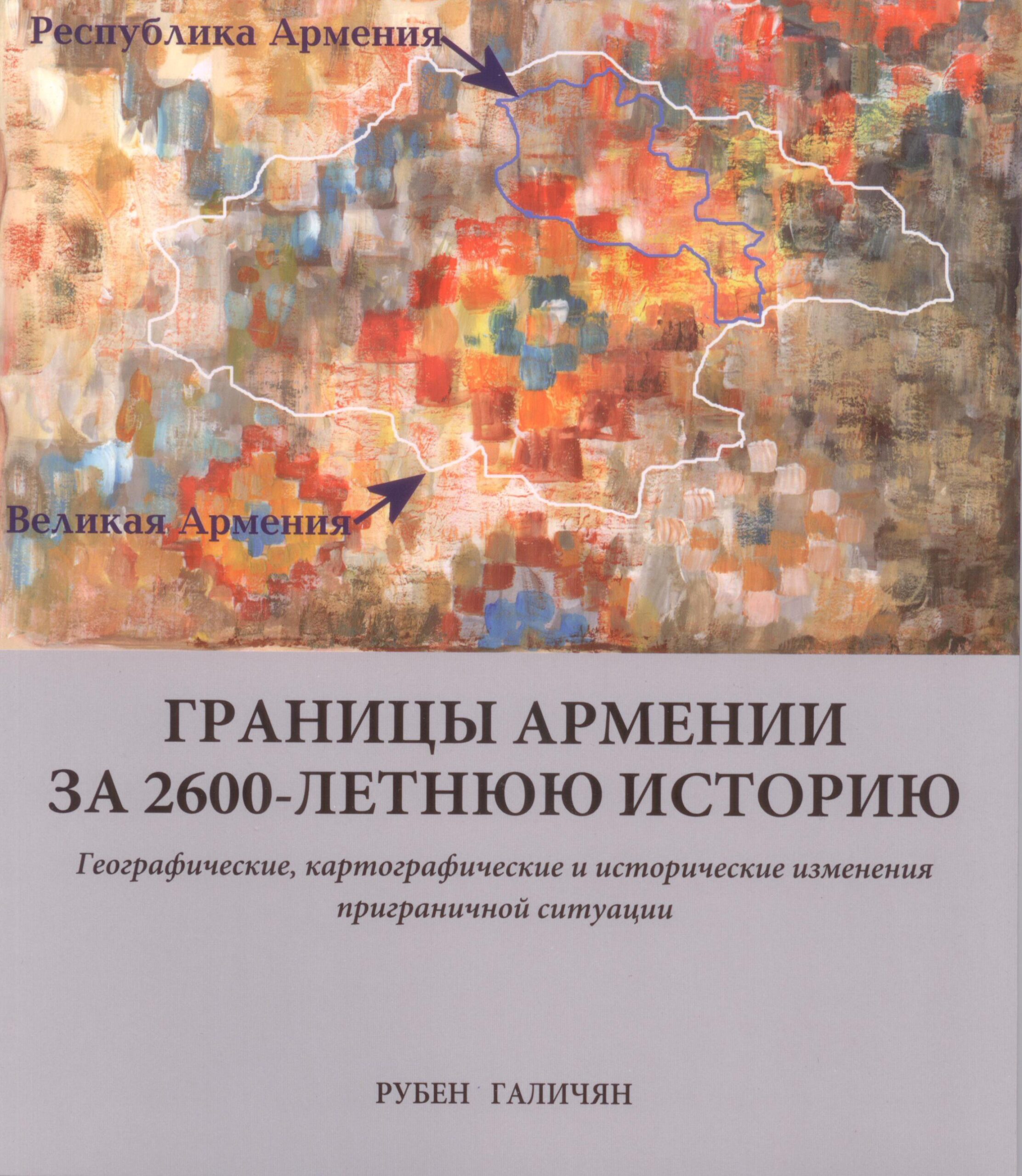
Границы Армении за 2600 Летнюю Историю
-
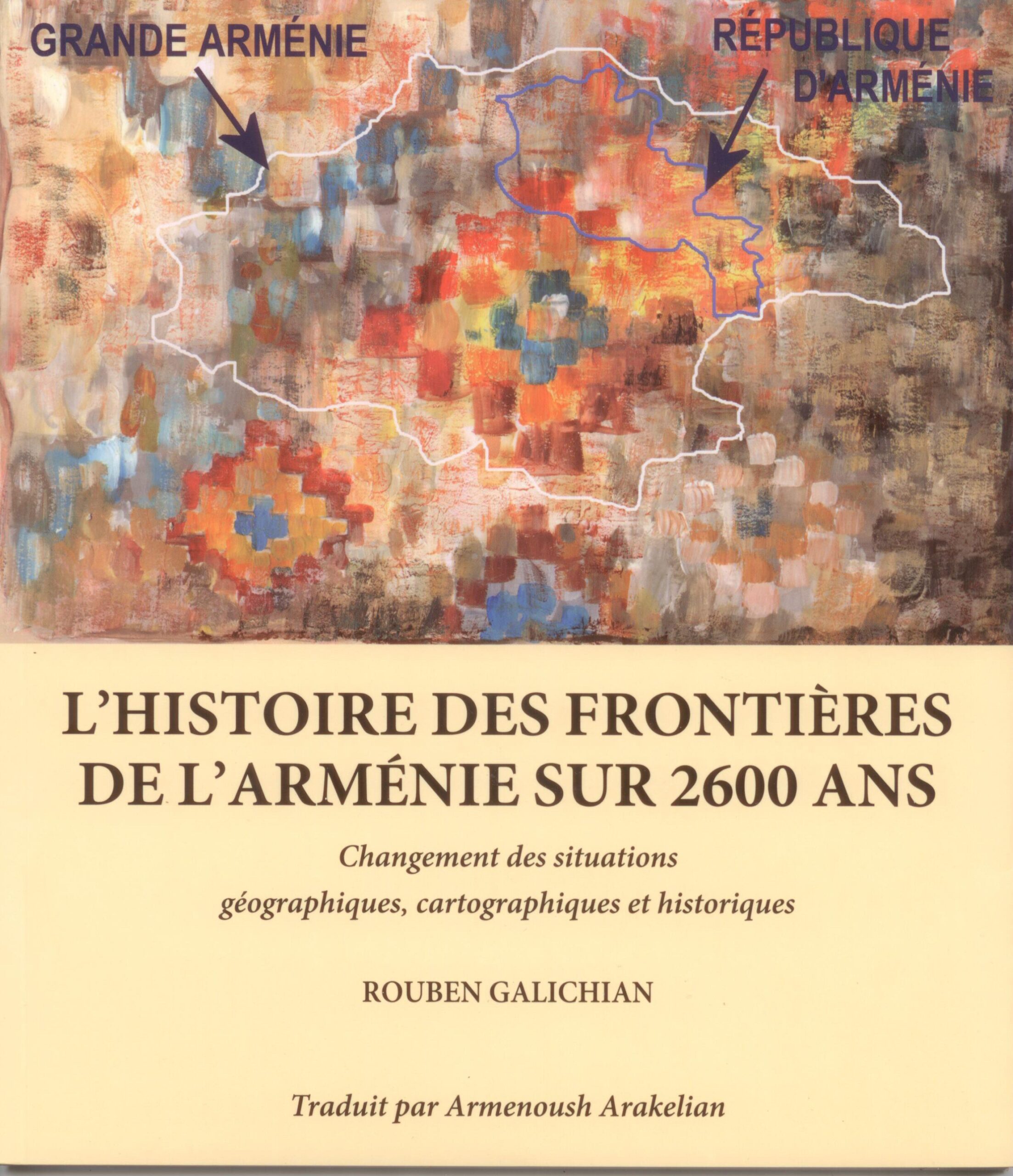
L’Histoire des Frontieres de l’Armenie Sur 2600 Ans
-
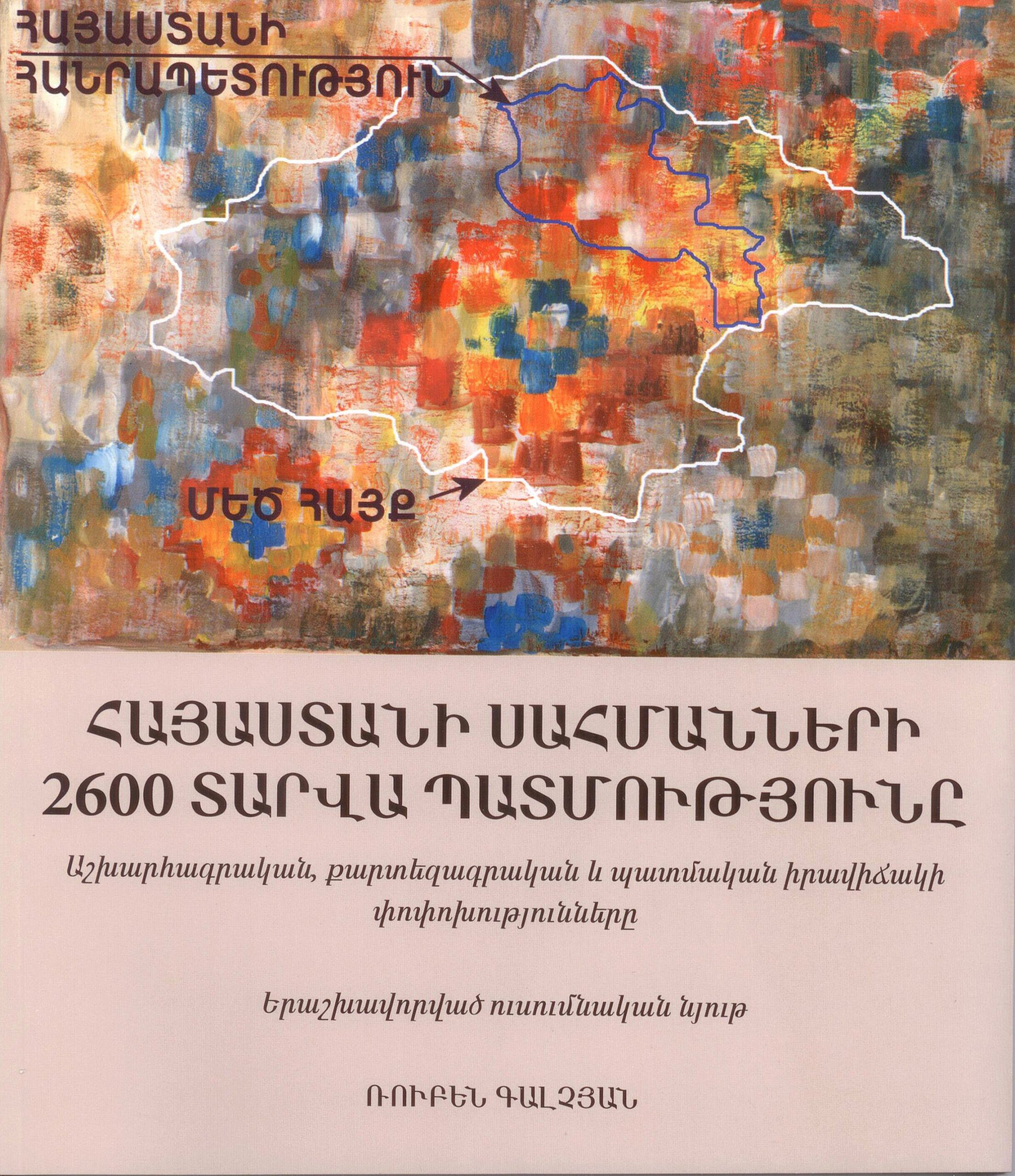
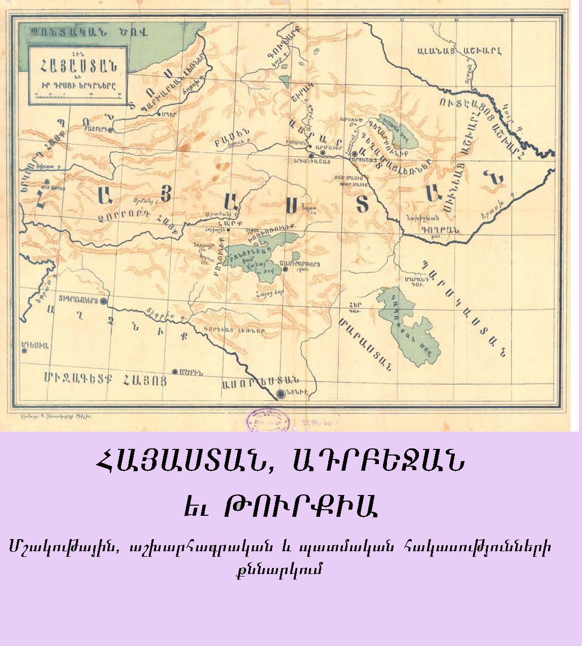
Հայաստանի Սահմանների 2600 Տարվա Պատմությունը
-
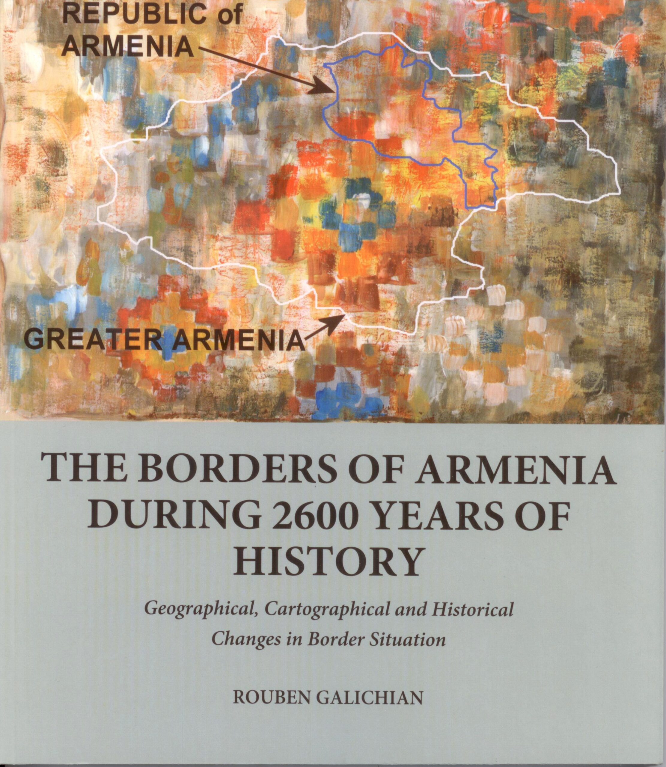
The Borders of Armenia During 2600 Years of History
-
A Very Brief History of Karabakh-Artsakh
-
Cosmographic and Cartographic Heritage in the Matenadaran
-
A CARTOGRAPHIC EXAMINATION OF “HISTORICAL” MAPS IN THE NATIONAL ATLAS OF AZERBAIJAN, 2014 AND THE INVENTED TERMINOLOGY OF “WESTERN AZERBAIJAN”
-
ARMENIA AND ITS BORDERS
-
Clash of Histories in the South Caucasus. Redrawing the Maps of Armenia, Azerbaijan and Iran
-
Countries South of the Caucasus in Medieval Maps . Armenia, Georgia and Azerbaijan
-
History of Armenian Cartography up to the Year 1918
-
Azerbaijani Historical & Geogrpaical Falsifications (in Armenian)
-
ARMENIA, AZERBAIJAN and TURKEY. Addressing Paradoxes of Culture, Geography and History
-
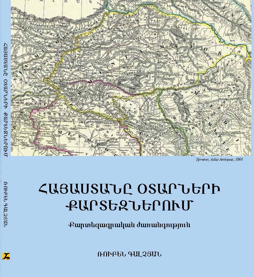
Historic Maps of Armenia. Abridged and Revised version
-
Armenia in the World Cartography
-
The Invention of History. Armenia, Azerbaijan and the Showcasing of Imagination, Second edition
-
Historic Maps of Armenia. The Cartographic Heritage
-
The Invention of History. Armenia, Azerbaijan and the Showcasing of Imagination (Russian)
-
The Invention of History. Armenia, Azerbaijan and the Showcasing of Imagination (Armenian)
-
Historical and Geographical Falsifications of Azerbaijan
-
Clash of Histories in the South Caucasus
-
A Glance into the History of Armenia through Cartographic Records
-
Armenia in the World Cartography
-
The First Quarter Century
-
Առաջին 25 տարին The First Quarter Century