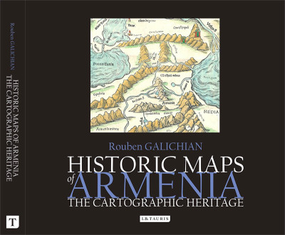
Historic Maps of Armenia. The Cartographic Heritage
Available at: Free Download
For High Resolution images the book is also available from the publisher, amazon and large bookshops.
31×28 cm, 232 pp., 164 colour images and maps.
Publisher: IB Tauris, London & NY, 2004.
ISBN 978-18606-497-9-0
Language: English
A brief history of cartography related to Armenia. Images of ancient to modern maps taken from various libraries and museums all over the world, which represent the world cartographic heritage, showing how world renown cartographers and geographers have shown Armenia on their maps dating from around 600 BCE to the present days.
Book categories: Cartography, English, Maps, and Old and Medieval maps