Book Category: Old and Medieval maps
Azerbaijani Historical & Geogrpaical Falsifications (in Armenian)
For High Resolution images the book is also available from the publisher, the author and bookshops in Armenia. 17×24 cm,…
Continue reading →
History of Armenian Cartography (Armenian version)
For High Resolution images the book is also available from the author and bookshops in Armenia. 21×24 cm, 168 pp,…
Continue reading →
History of Armenian Cartography up to the Year 1918
For High Resolution images the book is also available from the publisher, amazon and large bookshops. 21×24 cm, 168 pp,…
Continue reading →
Historic Maps of Armenia. The Cartographic Heritage
For High Resolution images the book is also available from the publisher, amazon and large bookshops. 31×28 cm, 232 pp.,…
Continue reading →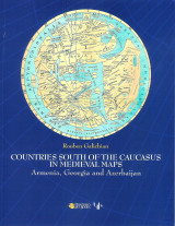
Countries South of the Caucasus in Medieval Maps . Armenia, Georgia and Azerbaijan
For High Resolution images the book is also available from the publisher, amazon and large bookshops. 21×28 cm, 208+92 pp,…
Continue reading →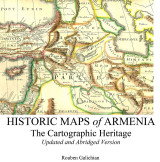
Historic Maps of Armenia. Abridged and Revised version
For High Resolution images the book is also available from the publisher, amazon and large bookshops. 21x24cm, 106 pages, paperback,…
Continue reading →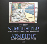
Armenia in the World Cartography
For High Resolution images the book is also available from the publisher, amazon and large bookshops. Not many copies are…
Continue reading →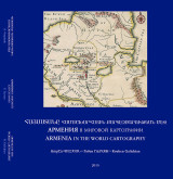
Armenia in the World Cartography
31×34 cm, pp. 272, with 172 maps and details. Publisher: Re-publication of previously published works, for the Armenian Prelacy of…
Continue reading →